Why do it now?
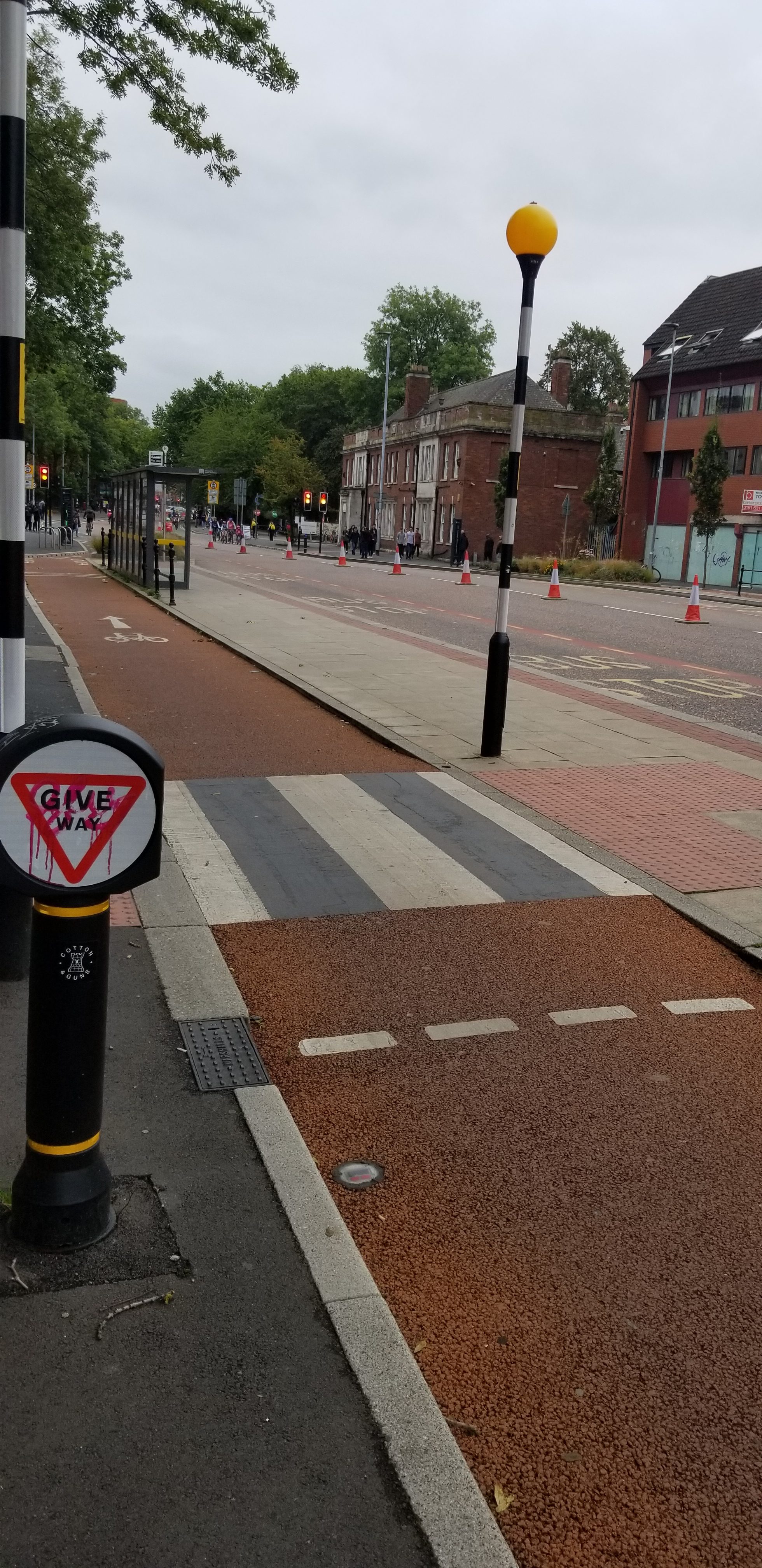
Waterfront promenades are an environment changing by the hour — during any day you will see family walks, runners, and seasonal visitors when the weather is nicer. If you’re widening paths, improving crossings or planning additional lighting, you need evidence that captures these patterns. To receive funding, Active Travel England expects monitoring on all schemes, and that requirement is firm. Evidence underpins safe, proportionate design decisions.
Counting what matters, when and where it matters.
So what’s changed?
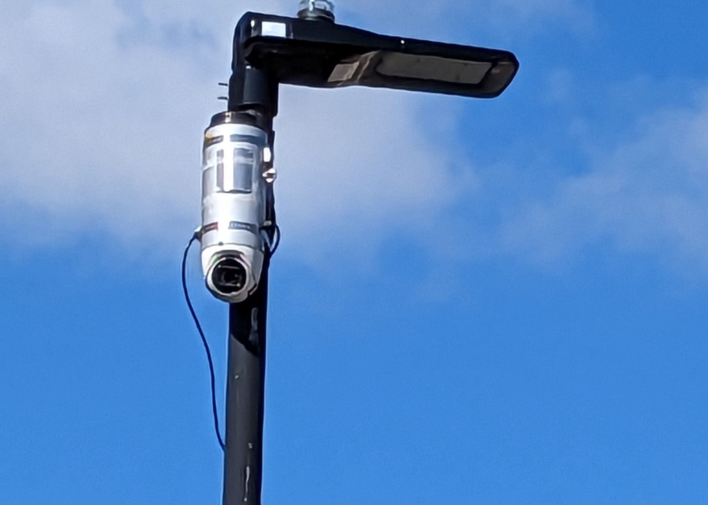
Working with Northumberland County Council, we’ve expanded the network of Streets Systems sensors with another set of four active travel sensors, this time along 2 miles of the Blyth & Seaton waterfronts. Once power sockets were ready, our team installed all four devices within 48 hours, completing the whole deployment in a single day using standard access equipment. Each unit was fully operational within two hours of installation, providing quick insight.
What are we diagnosing
Promenades can look generous but there still might be pinch points: mixed desire lines, informal crossings, and interactions between users. Peaks created by organised runs also distort impressions if you only sample for short periods.
- When, precisely, are the true peaks on weekdays or weekends?
- Where do flows concentrate, and does that align with current layouts?
- Are event surges just bursts, and how long does their effect last?
How our system works
We use vision AI to detect and track pedestrians and cyclists and export anonymised counts at short intervals. Data can be viewed on our dashboard and integrated into other systems using REST API.
Blyth waterfront in numbers and context
- Coverage: 4 devices over ~2 miles of waterfront.
- Busiest observed day at the busiest location so far: 1,000 pedestrians and 340 cyclists (single-day totals at a single location).
- Blyth Parkrun (Saturday 27 September 2025): one sensor recorded pedestrians over 700 times during the event. As the course involves two laps, we estimate ~350 participants passed that device within a morning hour. (Compares well to Park Run results showing 343 finishers)
“Walking, wheeling, and cycling improvements across Northumberland County continue to expand at pace, with several schemes currently at various stages of completion. Our collaboration with Streets Systems began two years ago to ensure we capture the vital data needed to inform both existing and future projects, as well as to measure key performance indicators (KPIs). With a total of 16 sensors now deployed across the network, this data forms the backbone of our monitoring and evaluation process — from project inception through construction, and well into the future.”
Rachael Bateman, Principal Transport Officer — Northumberland County Council


Does this change how we plan?
Yes. With well-placed sensors you can:
- Chart peaks and quiet times to inform maintenance and lighting schedules.
- Prioritise fixes where flows and multi-modal tracks cross — e.g., at blind corners.
- Build baselines before investing, then re-check after introducing changes.
- Separate event effects (e.g., Blyth Parkrun) from everyday patterns to understand their role.
If you’re planning seafront, riverside or canal path upgrades, we’re happy to help scope an evidence-led monitoring plan.
Contact Us to book your pilot, and redeem the cost on fleet purchase